Waterways, including oceans, rivers and lakes, adjoin property across NSW. The beds of most tidal waters and non-tidal waters include Crown land.
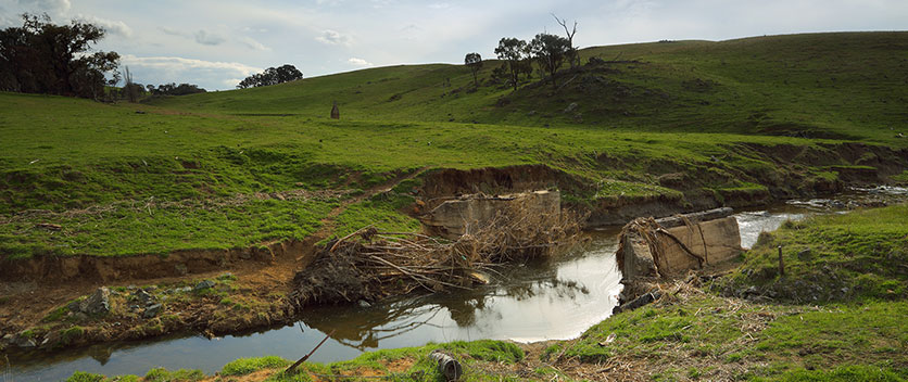
Over time, these physical water boundaries can change from natural causes such as erosion. This means the current land title may not necessarily reflect the location of the actual boundary. You can complete a water boundary determination if you plan to subdivide or redefine the land.
Apply for a water boundary determination
- Visit the Board of Surveying and Spatial Information website (BOSSI) to find a registered surveyor to conduct an assessment on the boundary.
- The surveyor will submit the application form, payment and appropriate plans and report, which shows the proposed boundary change.
- The application fee for the different types of Water Boundary Application (Tidal or Non-Tidal) can be found at Fees under Water boundary determination.
- You must pay the fee via direct debit before you submit this application. This fee is non refundable if the Crown is not the adjoining owner.
- We will communicate directly with the surveyor to discuss the application.
Surveyors Report – Water boundary determinations
The Surveyor’s Report describes the method used to determine the boundary and it should include, as appropriate:
- Information as requested in Spatial and Surveying Regulations 2017 and SG6.
- For non tidal water boundary determinations - confirmation that water way is upstream of tidal limits
- The basis and method of determining the location of the bank
- Details of any differences between the observed location of the present bank and previous definition/s.
- Provide considered qualified reasons for the difference (e.g. erosion/accretion/error in prior survey, flood or reclamation)
- The position of all improvements relative to boundary as shown on plan
- Information and/or statutory declarations from eyewitnesses (e.g. long-term residents)
- Professional advice or evidence (e.g. land/estuary studies, geotechnical evidence, soil/bore hole samples, etc.)
- A description of the land and land use. (e.g. whether natural, developed or affected by man)
- Photographs—current and historical (terrestrial and aerial, if appropriate, with boundary superimposed)
- A survey geometry file (dwg or dxf) and aerial images with present and previous survey overlay.